Ship's Log: At 3:00 pm we navigated through Neptune’s Bellows, the narrow entrance to the collapsed caldera that is Port Foster in Deception Island. There is a submerged rock in the middle of this comparatively narrow channel and everyone appreciated the skill of the Captain and his Officers as we sailed past towering cliffs on our starboard side.
Whalers Bay - 62°59’ South, 60°34’ WestThis small bay is located on the eastern side of Port Foster and was named by Charcot as many
whalers used this sheltered anchorage. The area was discovered by Nathanial B. Palmer in 1820 and was subsequently used by Norwegians as a whaling station between 1910-1931.
The island has a long and dark history of sealing and whaling, and a continued history through most of the 20th century as a British research station. Two volcanic eruptions at the end of the 1960’s concluded the occupation of the station and destroyed all of the buildings and other structures at the site.
It took us 3 hours to reach Deception Island from Half Moon.
You can see some of the old boiler tanks where the whale blubber was processed.
Neptune's Window
Walking along the shore we saw some seals
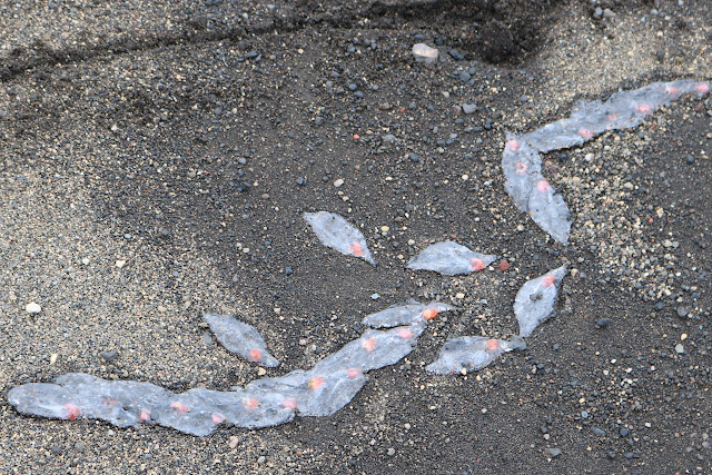
Salps (a barrel-shaped, planktonic tunicate. It moves by contracting, thus pumping water through its gelatinous body. Salp jet propulsion is one of the most efficient in the animal kingdom.)
Sea urchins
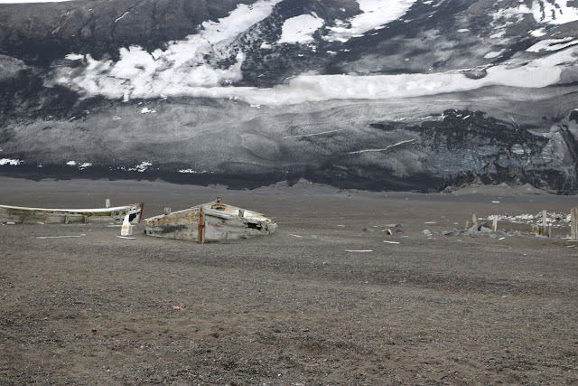
There was an abandoned whaling water boat.
The building were crumpling and falling down after years of abandonment following the volcanic eruptions in the 1960's.


No comments:
Post a Comment