Sunday - September 16, 2018
Another fantastic day to hike and explore in the Rocky Mountain National Park. As I left the park yesterday I stopped at the visitors center to talk with a ranger about options for an area to explore today. I shared what I had hiked and expressed my desire to visit an area that was a little more challenging and with fewer people. She asked if I wanted to go higher up the mountain and I said “Sure!”. So she laid out a plan of action for me to go to the Fall River area. I have found that it’s very helpful to talk with the rangers and share the type of experience you are wanting. They have probably hiked and explored the entire area and can share some very valuable information.
My target was to climb to the top of Chapin Summit with the trail located off the Old Fall River Road. The road is about 11 miles up the mountain with the last 9 miles being one-way dirt and gravel.
It was a beautiful morning with temperatures in the mid-70’s and sunny.

This is a good section of the mountain road.


First stop was at Chasm Falls.


I had help in taking a picture with the falls.

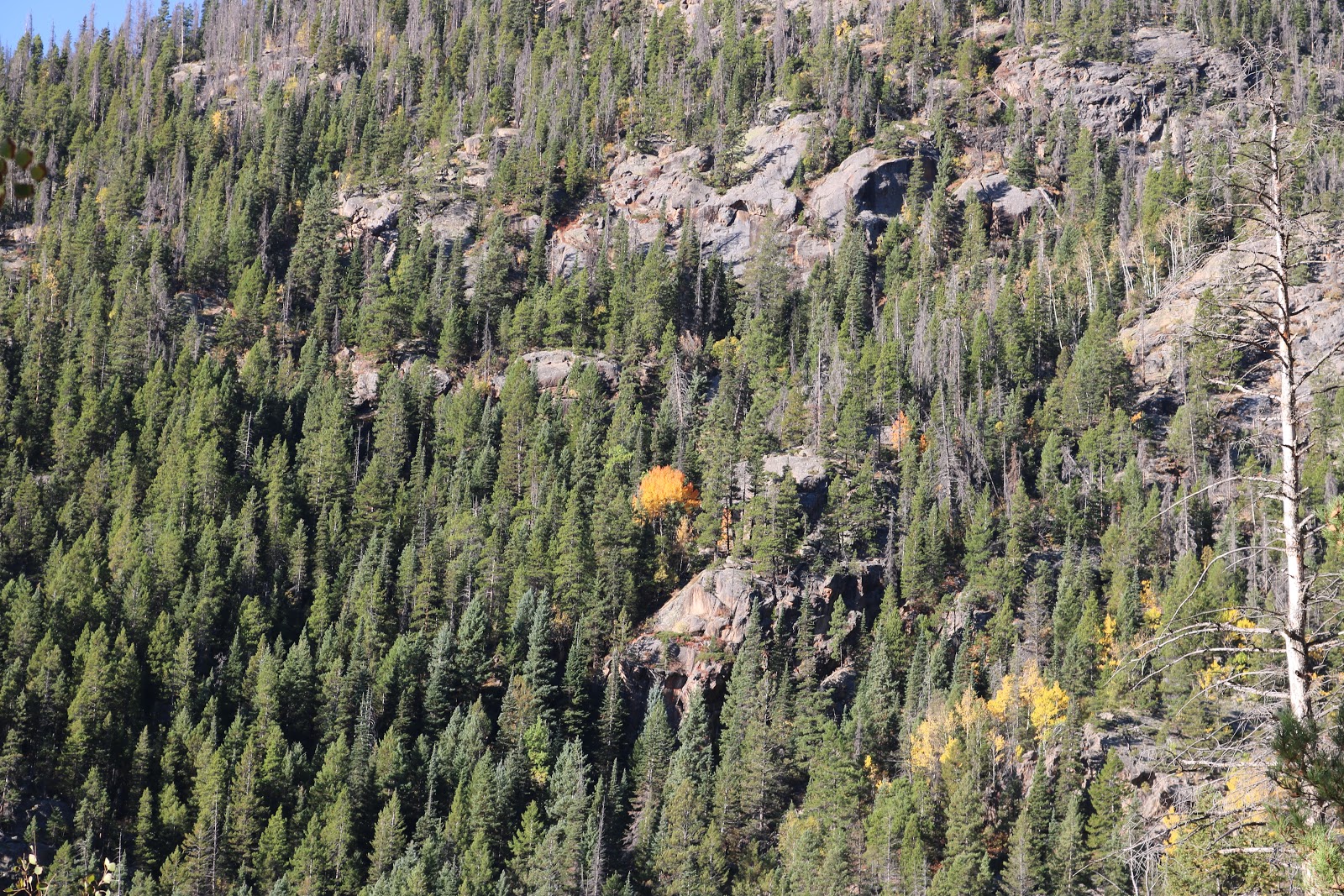
There was some spectacular scenery driving up the mountain road.


The red spot in the middle of the picture is a truck going up the road. This shows how it has twists and turns to work your way up the mountain.

The trail head starts at 10,240 feet. Chapin Summit is at 12,454 feet so that meant a climb of 2,214 feet in elevation gain.

The first part of the trail was typical of what I had hiked the day before with some rough spots and some easier paths.


Looking down into the valley below.

The small brown streak along the top of the opposite ridge is a visitor’s center.


This sign says it all. The trail is NOT maintained beyond this point. You shall see what that means.

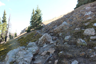
One of the good sections.


Then you hit sections with large rocks that you have to climb over. Challenging at times.

I kept thinking that if I tumbled over that I would be a human snowball rolling down the side of the mountain. One aspect of the hike that pictures can’t show is that the ranger said the wind was blowing constantly at about 25 miles an hour with gusts up to 40. That’s why I was concerned about tumbling over.

The effort was worth it. This is the valley on the west side looking down form the summit.

This is the east side valley.


A couple of dried ponds along the trail. I took this coming back down.

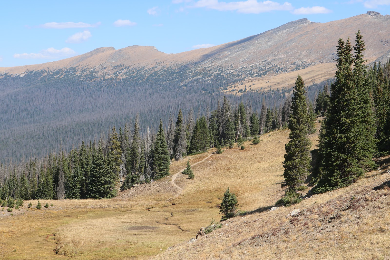
You can see the trail going down the mountain side.

I waited until I was back in the trees with a lot less wind before taking my selfie. This was an accomplishment that I will long cherish. The hike was 6.5 miles and took me a little over 4 hours. Not bad for an old man!

After my hike, I enjoyed driving though the park and enjoying the scenery from the comfort of my car.


That wraps up my visit to the Rocky Mountain National Park. I travel north to the Grand Teton and Yellowstone parks tomorrow.

No comments:
Post a Comment